Submission 2025
| Submitted by: | Nafeez Islam |
| Department: | Civil + Environmental Engineering |
| Faculty: | Engineering |
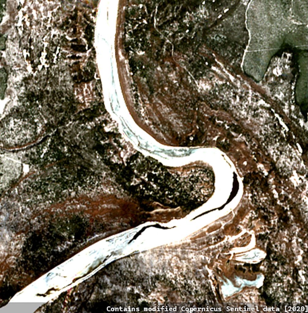
Winding through a frozen landscape, the Athabasca River pulses with the energy of change. Captured during the 2020 spring breakup, this satellite image demonstrates how remote sensing empowers us to anticipate and respond to flooding threats. The stark contrast between the river’s icy surface and the thawing terrain highlights the tension between winter’s hold and spring’s release. Each bend in the river symbolizes the delicate balance between nature’s forces and the tools we use to understand them. Through this work, I transform these patterns into actionable data, helping protect vulnerable northern communities from ice jam floods while preserving the ecological role of ice-driven processes. This image reminds us that, from space, we can not only observe but also act to safeguard life on the ground.
Was your image created using Generative AI?
No.
How was your image created?
This image was created using true color imagery from the Sentinel-2 satellite, captured during the 2020 spring breakup of the Athabasca River. The data was obtained from the Copernicus EO Browser and processed using ArcGIS Pro. I adjusted the image’s contrast and color balance to enhance the visibility of ice-covered and thawed areas, highlighting the dynamic patterns of ice retreat. The river segment was selected for its pronounced meandering and the distinct textural differences between ice and land. The raw satellite data was georeferenced and clipped to focus on the most visually impactful section. No artificial enhancements or overlays were applied beyond standard remote sensing visualization techniques to maintain accuracy. This process involved working with multispectral data bands (B02, B03, B04) to generate a natural color composite, representing the river’s true visual state during breakup.
Where is the image located?
A satellite-based representation of river ice dynamics on the Athabasca River during the 2020 spring breakup, derived from Sentinel-2 imagery.

